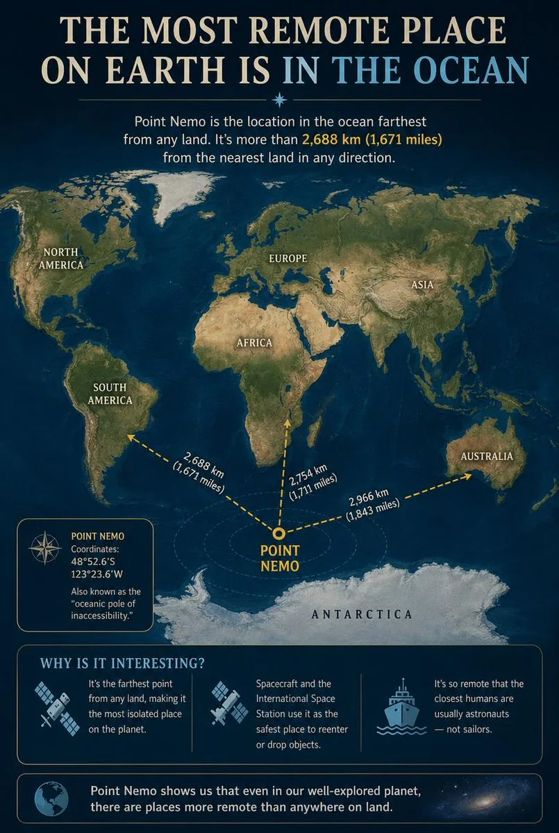
Educational Infographic Explaining Point Nemo
Prompt
Goal: Create an educational infographic explaining Point Nemo, the most remote place on Earth located in the ocean. Canvas: Vertical portrait layout with a deep navy blue background and a subtle starry night sky texture at the top. The style is clean, modern, and informative, using gold and white text for high contrast. Layout: 1. **Header:** Large serif title "THE MOST REMOTE PLACE ON EARTH IS IN THE OCEAN" (with "IN THE OCEAN" highlighted in light blue). Below it, a small introductory paragraph defining Point Nemo as the location farthest from land, mentioning the distance of 2,688 km (1,671 miles). 2. **Central Map:** A stylized world map centered on the South Pacific Ocean. Continents are rendered in muted earth tones (greens, browns) against dark blue oceans. Labels include NORTH AMERICA, SOUTH AMERICA, EUROPE, ASIA, AFRICA, AUSTRALIA, and ANTARCTICA. 3. **Data Visualization:** A bright yellow dot marks "POINT NEMO" in the ocean south of Easter Island. Three dashed yellow arrows radiate from this point to the nearest landmasses, labeled with distances: "2,688 km (1,671 miles)" to Antarctica, "2,754 km (1,711 miles)" to South America, and "2,966 km (1,843 miles)" to Australia. 4. **Info Box (Left):** A rectangular box with a compass icon containing the coordinates "48°52.6'S 123°23.6'W" and the nickname "oceanic pole of inaccessibility." 5. **Bottom Section:** A section titled "WHY IS IT INTERESTING?" with three columns featuring icons and text: - Icon: Satellite dish. Text: "It's the farthest point from any land, making it the most isolated place on the planet." - Icon: Space station/satellite. Text: "Spacecraft and the International Space Station use it as the safest place to reenter or drop objects." - Icon: Ship. Text: "It's so remote that the closest humans are usually astronauts — not sailors." 6. **Footer:** A concluding statement next to a globe icon: "Point Nemo shows us that even in our well-explored planet, there are places more remote than anywhere on land." Visual Style: Professional infographic design. Use clear sans-serif fonts for body text and serif fonts for headings. Ensure the map projection clearly highlights the isolation of the central point.
18 personas han usado este prompt
- Modelo
- GPT Image 2
- Tamaño
- 805 × 1200
Prompt e imagen de Generated Atlas · Ver publicación original
Recopilado de Awesome GPT Image 2 Prompts (CC BY 4.0)
Todos los derechos de la imagen pertenecen a su autor original. Contáctanos para solicitar su retirada.
Educational Infographic Explaining Point Nemo
An informative and clean vertical educational infographic detailing Point Nemo, the most remote oceanic pole of inaccessibility on Earth. The modern design features a deep navy blue starry background, a stylized world map highlighting exact coordinates, distance measurements to nearby landmasses, and interesting facts about space debris disposal and astronaut proximity.
Imágenes similares
Volver a la galería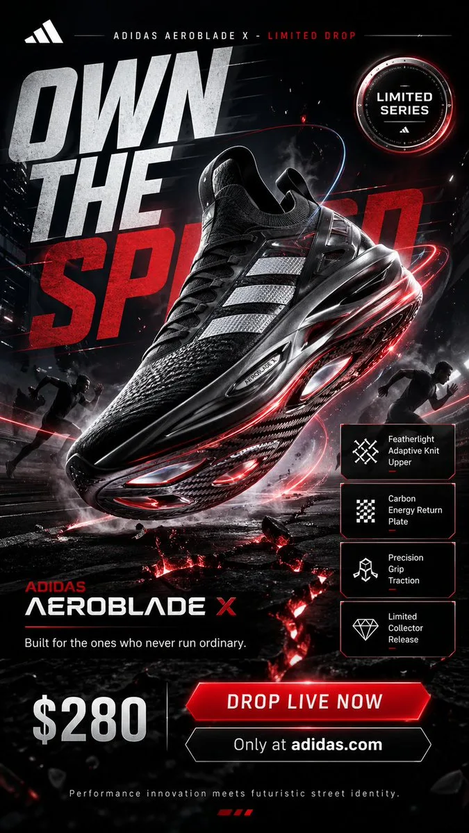
Adidas Aeroblade X Futuristic Sneaker Campaign Poster

Serene Portrait of Woman in Floral Headscarf

Portrait of a Young Woman in White Shirt
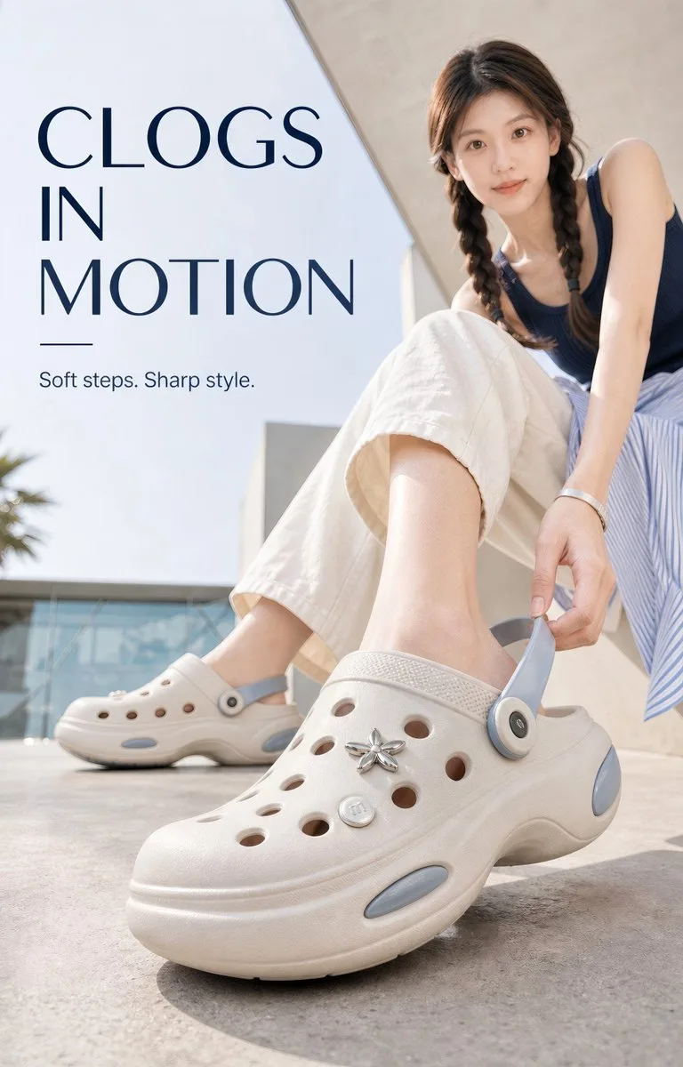
Step Into Air Premium Summer Clog Campaign
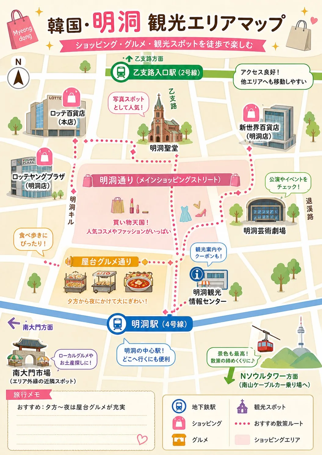
Illustrated Tourist Area Map

Luxury Perfume Bottle on Marble Vanity
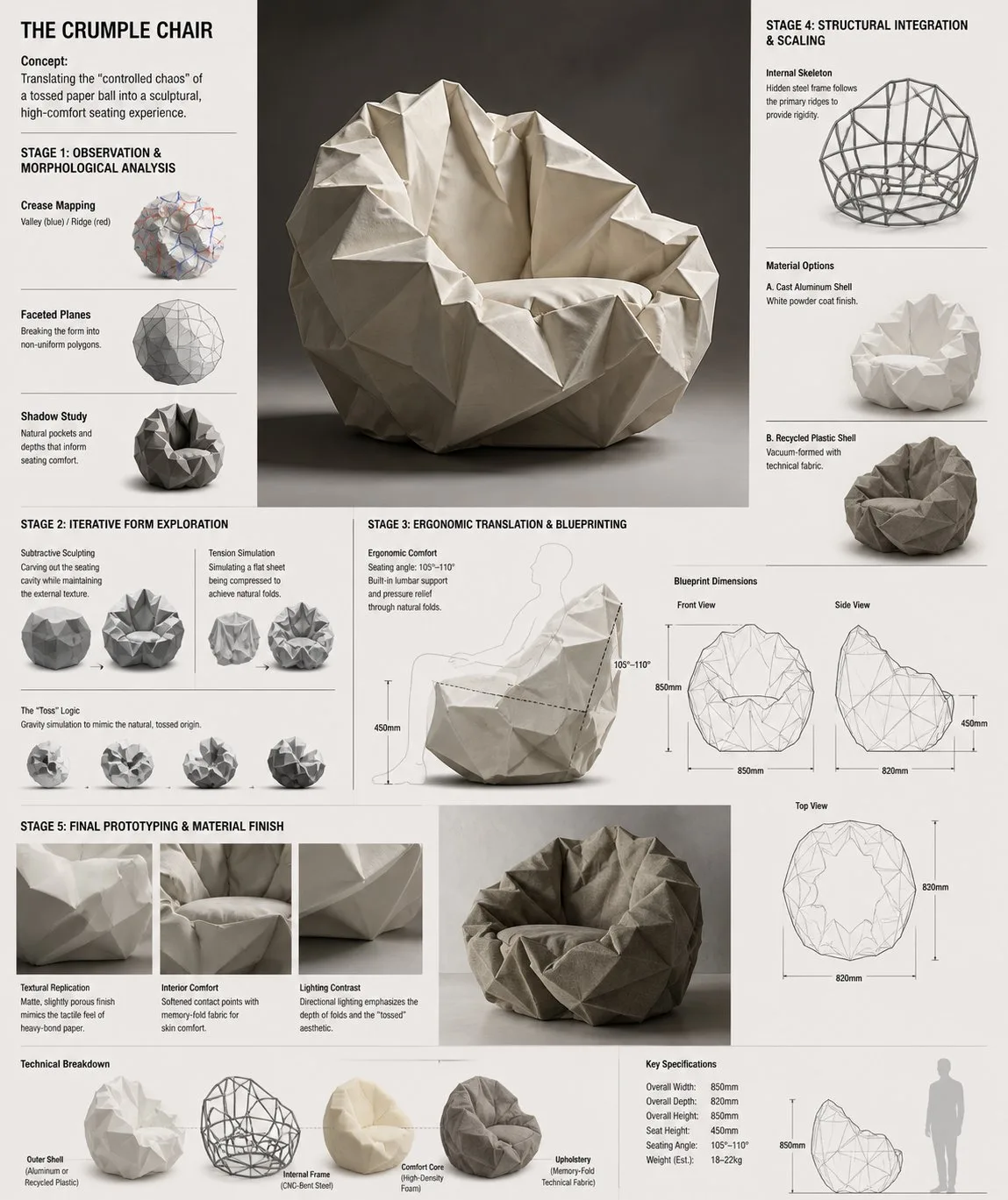
Innovative Crumple Chair Architectural Design Concept
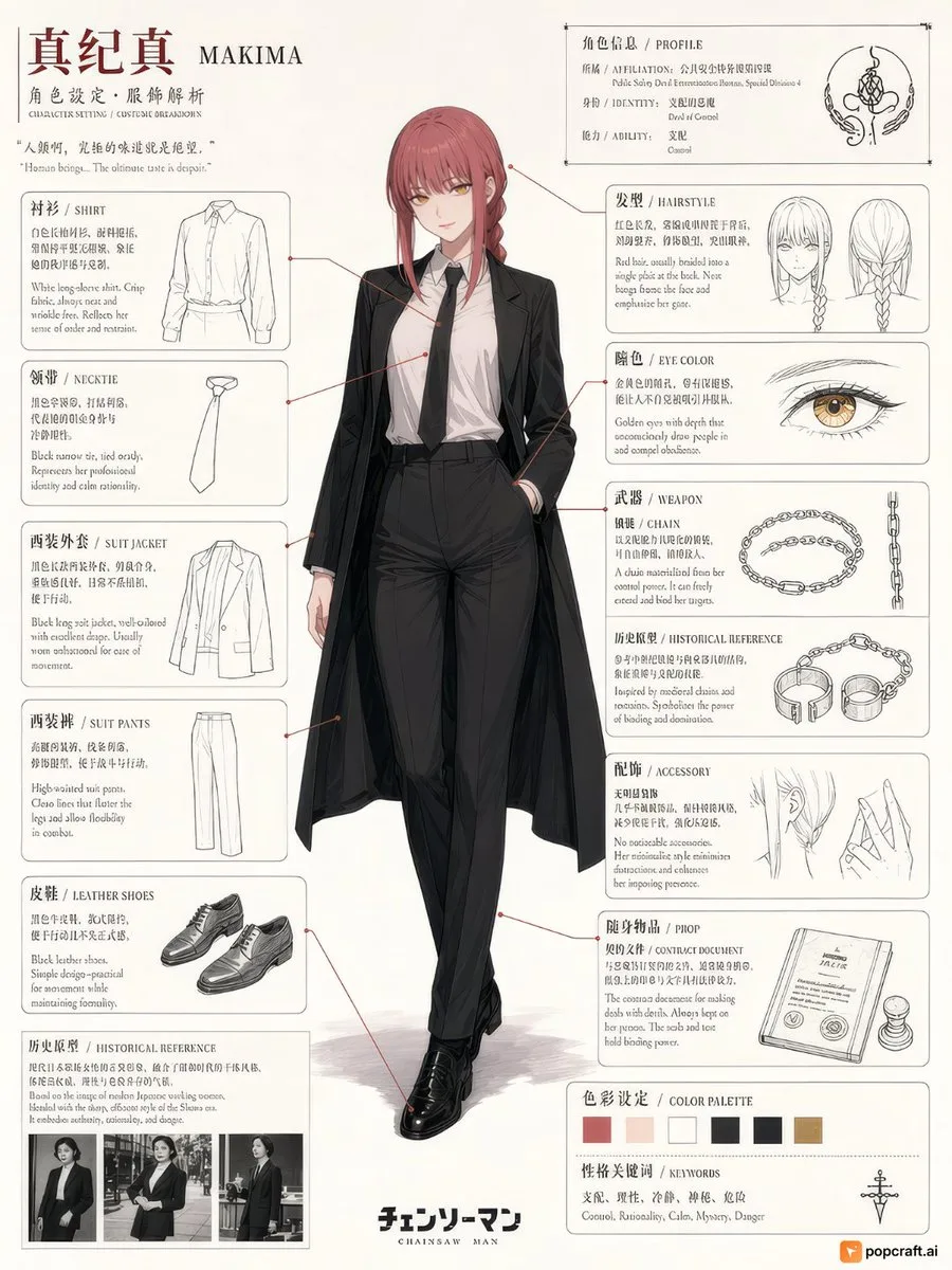
Makima Anime Character Design Sheet
¿Creaste algo genial?
Comparte tus imágenes en la galería. Las imágenes compartidas se guardan de forma permanente y ganas créditos cuando se publican.